 Catalyst Media
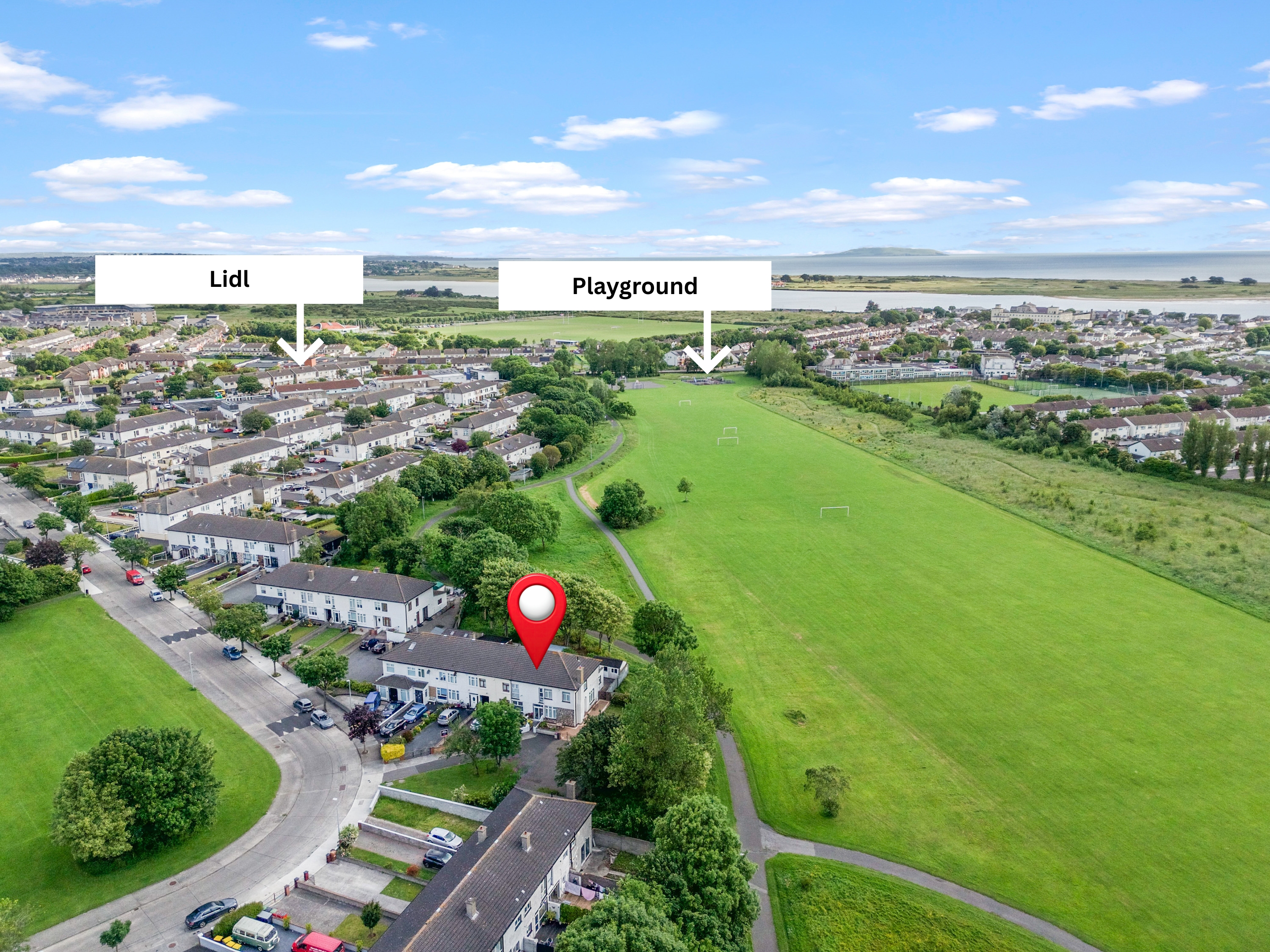
The best aerial image tells buyers something they cannot see from the ground. It should answer a question about the property, its land or its setting.
Show the property in context
Drone photography shows how a home sits within its surroundings. It is especially useful for rural homes, larger sites and substantial gardens.
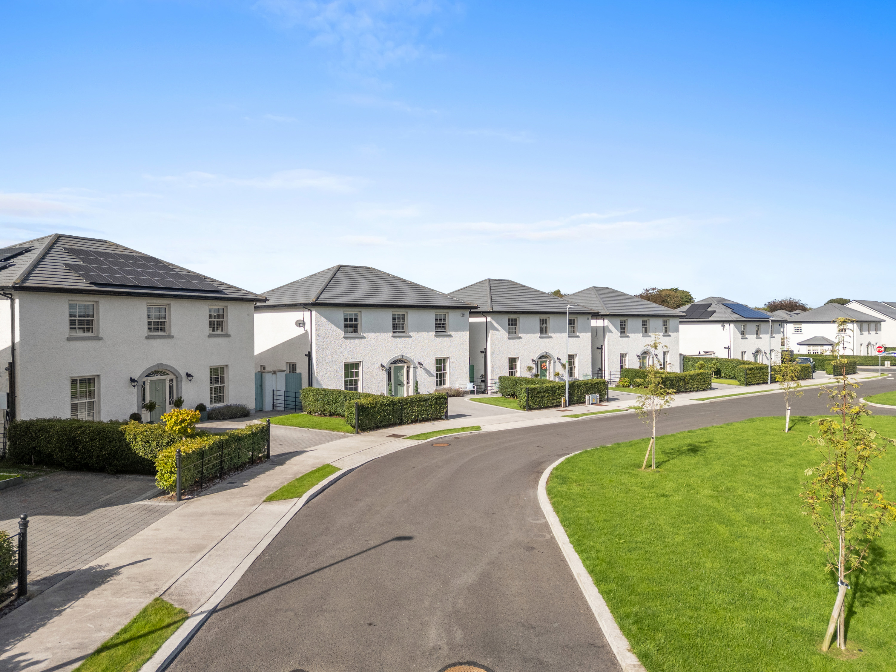
- Show the house, garden and neighbouring properties together.
- Include roads, access points, nearby amenities and the wider landscape where relevant.
Higher isn't always better
Too much height makes the house look small; too little can hide its setting. A lower angle may explain the house and garden, while a wider view helps when surrounding land is a selling point.
Make the land understandable
Aerial views should explain the extent and shape of the land. Where appropriate, land outlines, roads and recognisable reference points help buyers understand the site and its access before a viewing.
Give each aerial view a purpose
- Property: the house and immediate grounds.
- Context: nearby homes, roads and landscape.
- Land: the extent and shape of the site.
- Access: the approach and connection to the road.
Answer the buyer's questions
What surrounds the property? How private is it? Where does the land extend, and how is it accessed? Choose the views that answer those questions.
Combine useful aerial views with photography, floor plans and video to help buyers understand the whole property.